Research Area 01
Unmanned Aerial Vehicles (UAV)
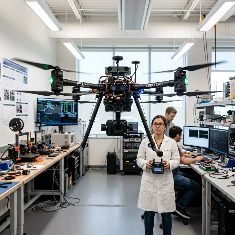
RACLAB designs and develops both fixed-wing and rotary-wing UAV platforms for a wide range of applications. Our work covers indigenous flight control systems, autonomous navigation, GPS-denied indoor localization, real-time aerial image processing, obstacle detection and avoidance, and swarm coordination.
The lab has competed in TEKNOFEST UAV competitions continuously since 2016, winning the national championship in 2019 and earning performance awards through 2025. International competitions include AUVSI SUAS (USA) where the team placed 20th and 11th out of 70 and 67 international teams respectively.
Research Area 02
Autonomous Ground Vehicles (UGV)
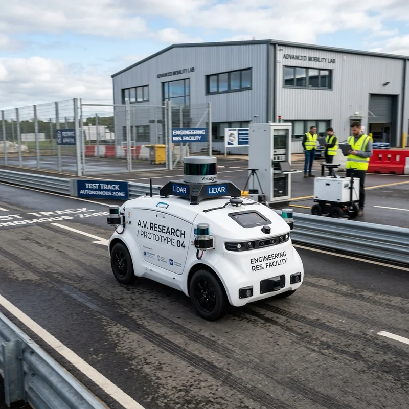
Research focuses on sensor-fusion-based localization (IMU, LiDAR, camera, GPS), lane detection, traffic sign/light recognition, obstacle detection and avoidance, path planning, and autonomous vehicle control. Applications span self-driving car platforms (TEKNOFEST Robotaxi), industrial AGVs, and outdoor autonomous shuttles.
RACLAB SİGUN has competed in the TEKNOFEST Robotaxi championship since 2021, winning "Best Original Software" three times (2021, 2022, 2025) and runner-up twice. An autonomous shuttle was field-validated with MPG over 4 years (2021–2025).
Research Area 03
Autonomous Underwater Vehicles (AUV)
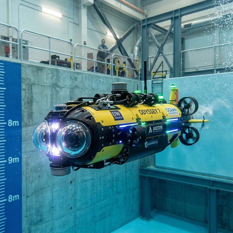
GNSS-independent navigation using IMU–DVL–camera–depth sensor fusion, obstacle detection/avoidance, and autonomous mission execution in underwater environments. Vision-based detection and decision-making under low visibility conditions.
RACLAB NOVA team qualified from ~300 teams in TEKNOFEST 2021 and continuously improved, culminating in the 2025 Championship and Best Team Spirit award. A TÜBİTAK 2242 project also won 2nd place for the "Underwater Vehicle Control Board".
Research Area 04
Smart Transportation Systems
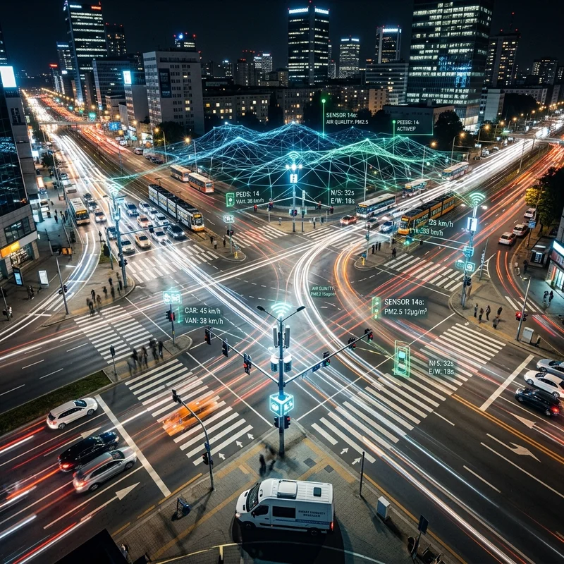
IoT-based adaptive traffic signal control using sensor networks, multi-agent swarm intelligence, and deep Q-learning. V2I (Vehicle-to-Infrastructure) communication module design, digital twin technology for intersections, and macroscopic traffic analysis software.
Multiple joint projects with MOSAŞ and Innomotive, funded by TÜBİTAK 1501/1507/1511/1832 and KOSGEB. The TÜBİTAK 1832 Yeşil Dönüşüm project is World Bank-supported for green transport analytics.
Research Area 05
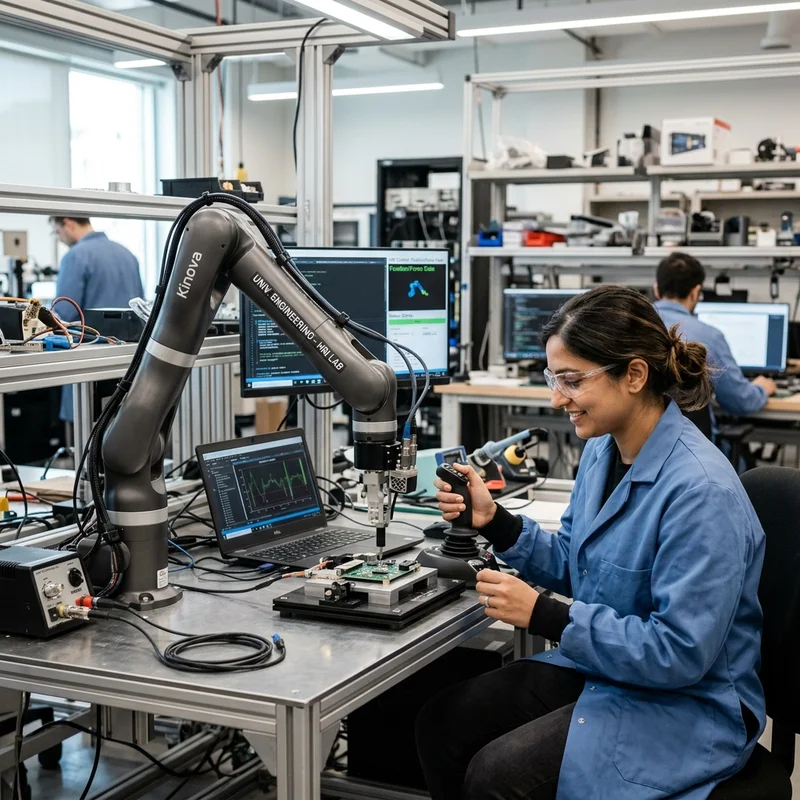
Human-Robot Interaction (HRI)
Research on estimating and reshaping human intention during collaborative HRI using Hidden Markov Models (HMM) and Observable Operator Models (OOM). Action recognition, gesture understanding, and safe motion planning for robots working alongside humans.
Published in high-impact journals including Interaction Studies (S-SCI) and Turkish Journal of Electrical Engineering (SCI-E). Forms the theoretical foundation for service robot applications developed in the lab.
Research Area 06
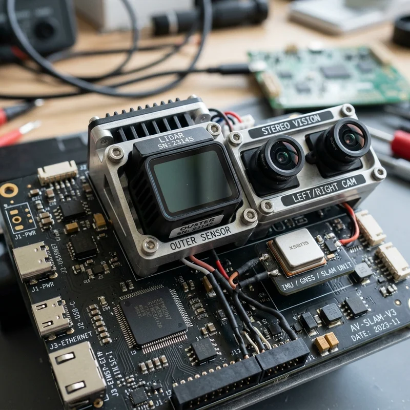
Sensor Fusion & SLAM
Multi-sensor integration (IMU, LiDAR, camera, GPS, DVL) for robust state estimation across aerial, ground, and underwater platforms. Simultaneous Localization and Mapping (SLAM) algorithms, visual-inertial odometry (VIO), and multi-agent situational awareness systems.
CNN-based sensor fusion methods published in SCI-E journals. The YTU Dataset and recurrent neural network-based VIO work published in Measurement (SCI-E). D-VIO fusion with GNSS/IMU published in IEEE Transactions on Intelligent Vehicles (Q1).